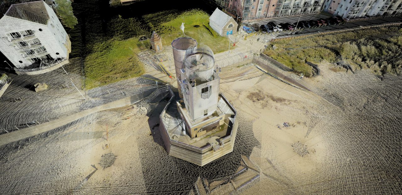
Marina Towers ObservatoryIt’s a surprise to find out that this impressive building was built as recently as 1989 and once housed a 20-inch Shafer-Maksutov telescope – the second largest of its kind in the world.
The vacant building was due for refurbishment and the architects required an accurate 3D Revit model to work from. We collected external and internal scans using our Topcon GLS-2000 laser scanner. The pointcloud was then converted into the Revit model shown below.