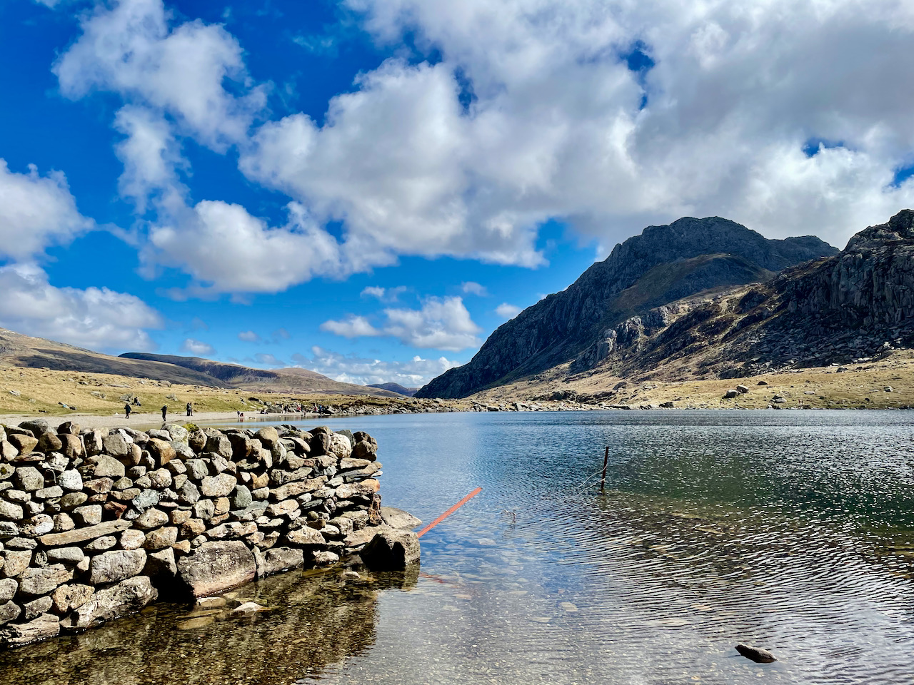
This remote Victorian dam lies in the Snowdonia National Park in North Wales. A TerraDat geophysical team were hired to investigate possible leaks within the structure using a technique called Self Potential. In order to model the geophysical results and get an accurate record of the topography, 47 images were acquired using a drone. Using Capturing Reality software, photogrammetric processing yielded an accurate 3D model and orthomosaic image to help present clear results to the client.
Reality Capture.
Aerial Photography.
Drone Mapping.
Laser Scanning.
Aerial Photography.
Drone Mapping.
Laser Scanning.
CATEGORIES
INFORMATION
TerraDat UK Ltd.
Unit 1, Link Trade Park
Penarth Road
Cardiff CF11 8TQ
Tel: 07803 293547
South Wales-based drone surveys and 3D mapping specialists