Drone PhotographyVideo Diary: a week on Gower

https://uas.terradat.co.uk/wp-content/uploads/2017/11/DJI_0005-Edit-2-1280x1647.jpg

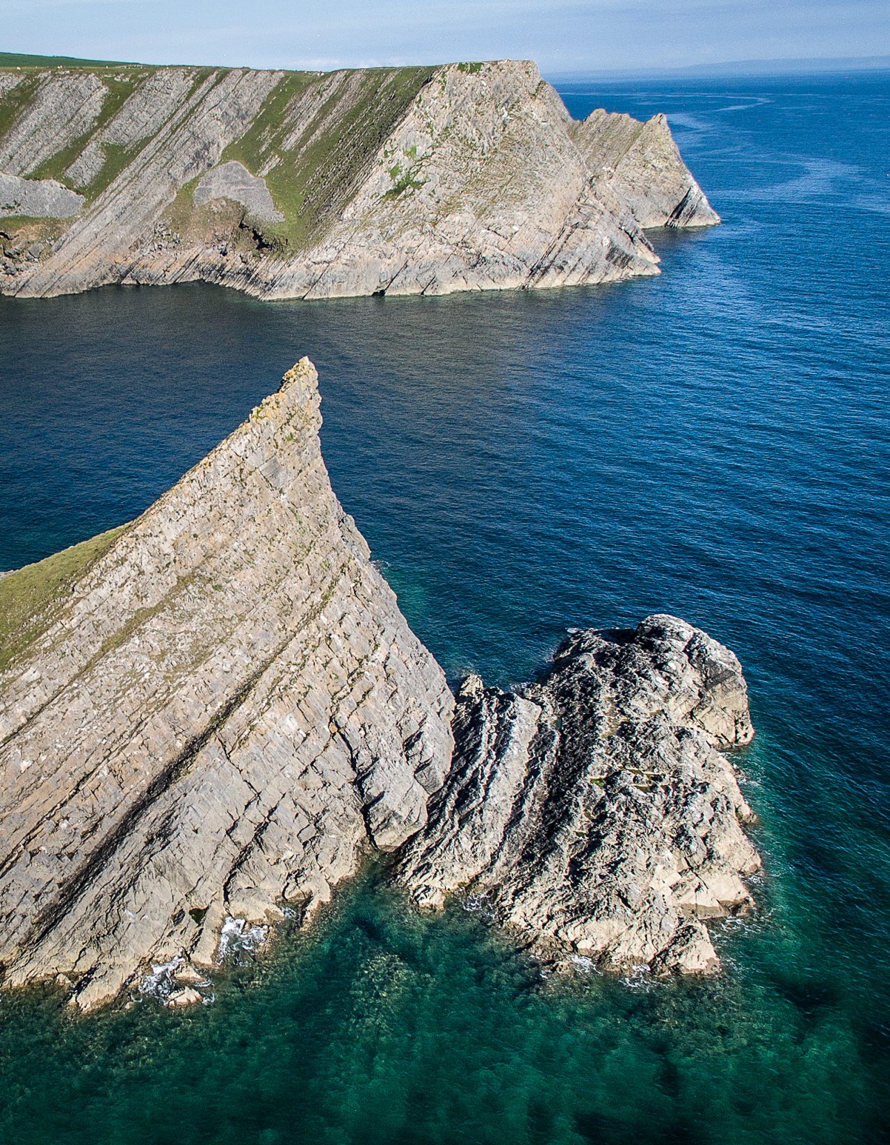
Aerial footage collected on the Gower Peninsula in South Wales over the course of a very calm week in June 2015. Locations include Rhossili, Whiteford Point, Worm’s Head, Paviland Cave, The Knave, Mewslade Bay, Thurba Head.

Music Credit: Changing Tides, Catrin Finch

https://uas.terradat.co.uk/wp-content/uploads/2021/03/terradatimaging-master-logo-230.png
Reality Capture.
Aerial Photography.
Drone Mapping.
Laser Scanning.

TerraDat UK Ltd.
Unit 1, Link Trade Park
Penarth Road
Cardiff CF11 8TQ

Tel: 07803 293547

South Wales-based drone surveys and 3D mapping specialists